Industry-leading terrain accuracy
Our process
01 / 06
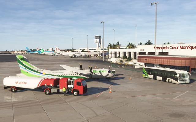
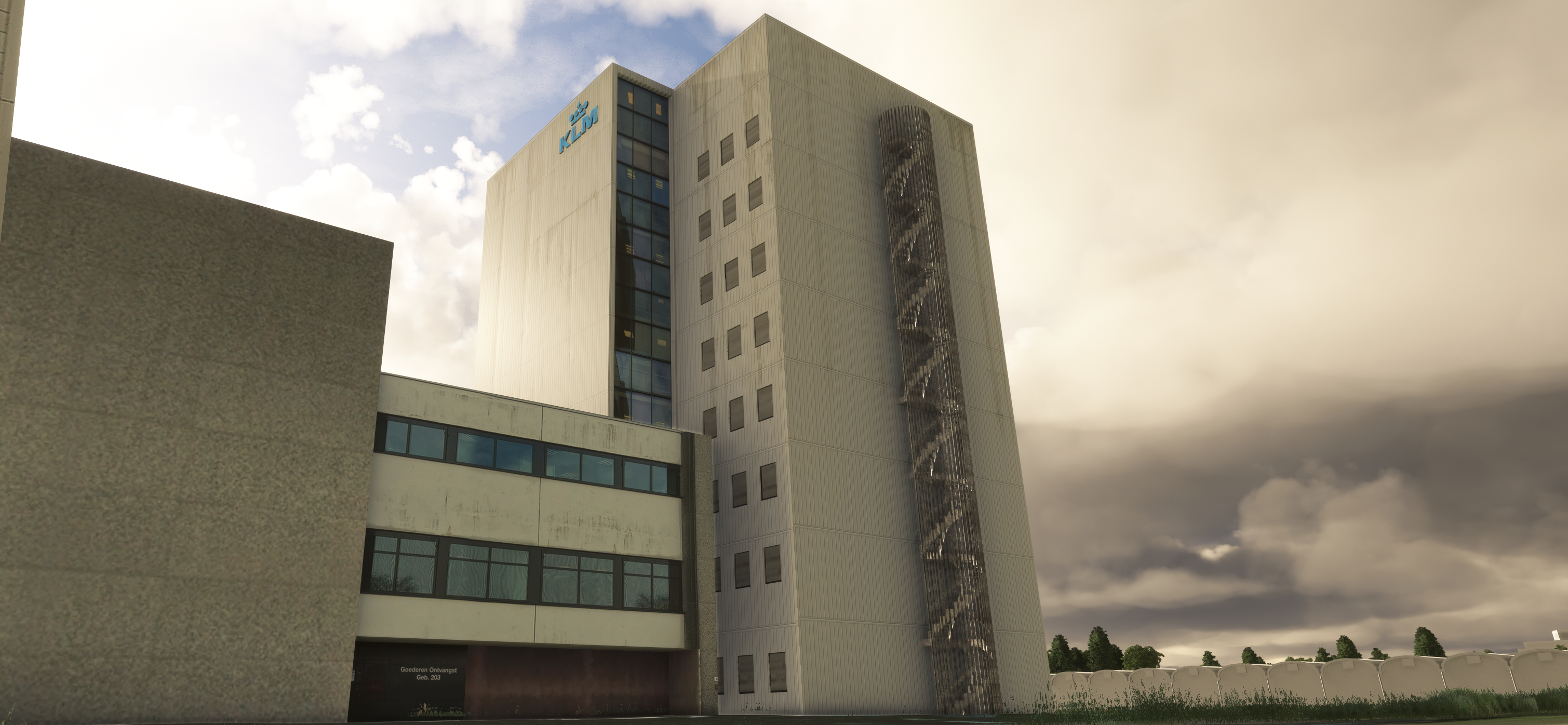
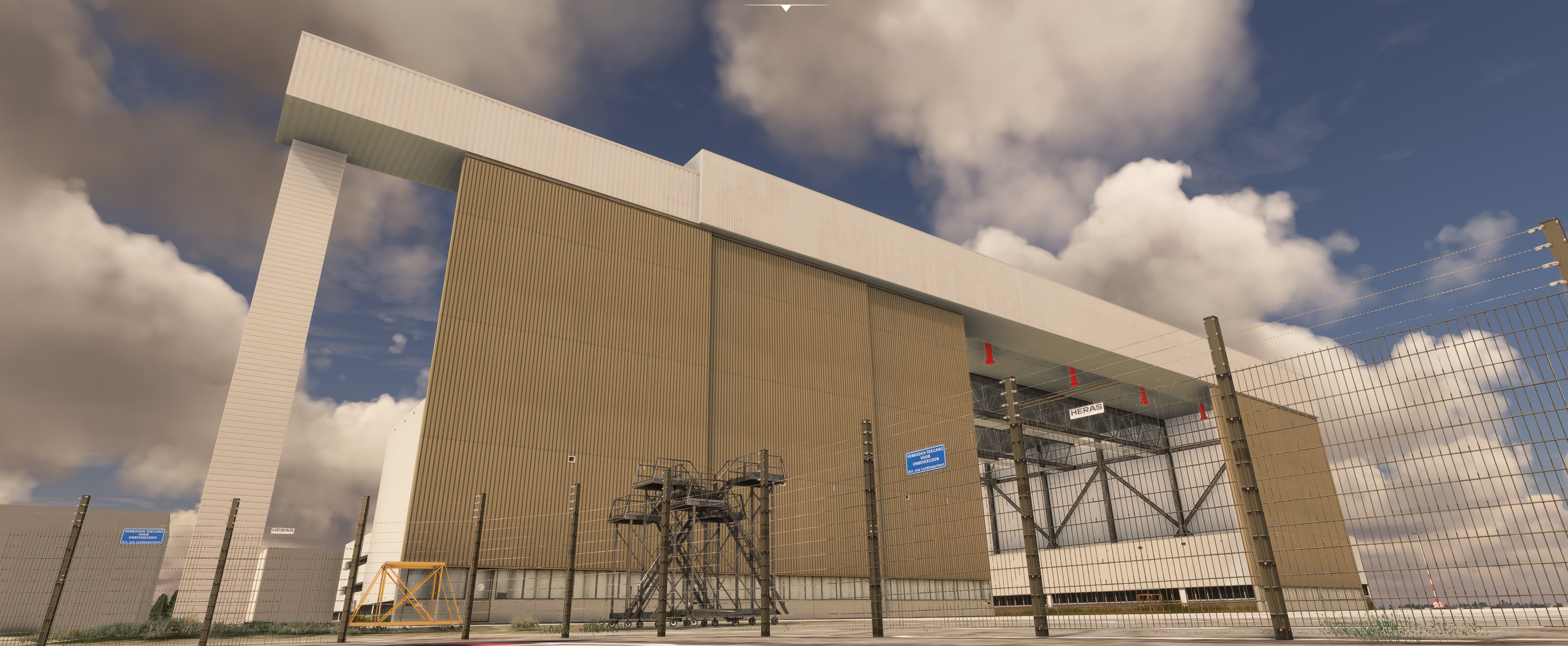
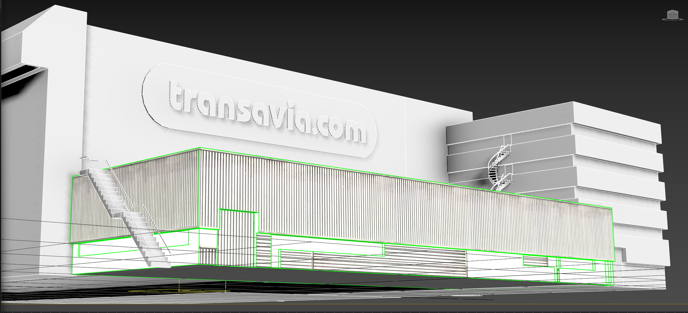
Survey & Reference
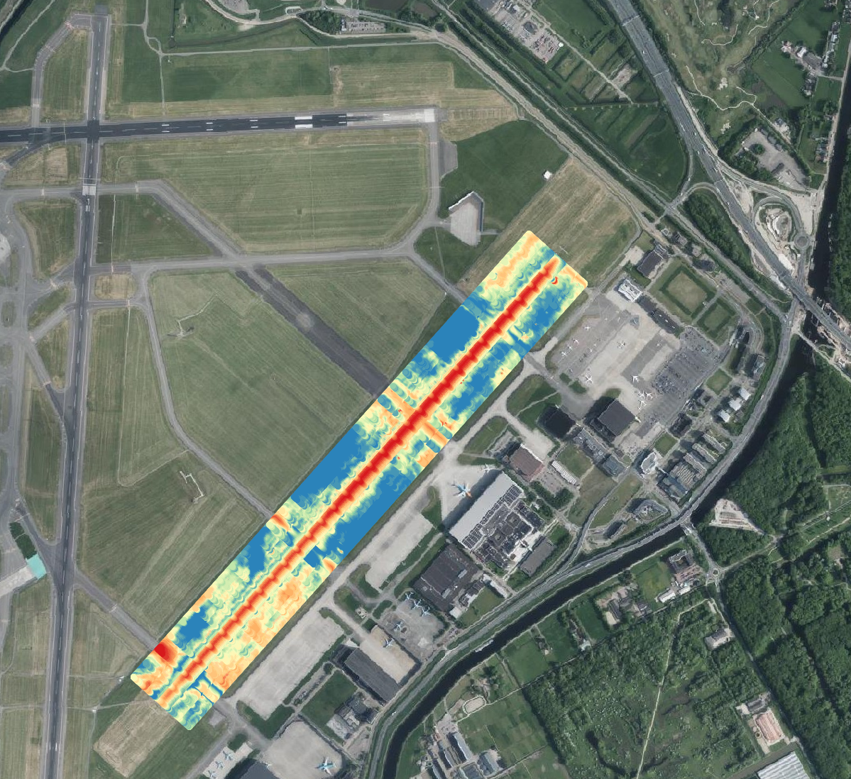
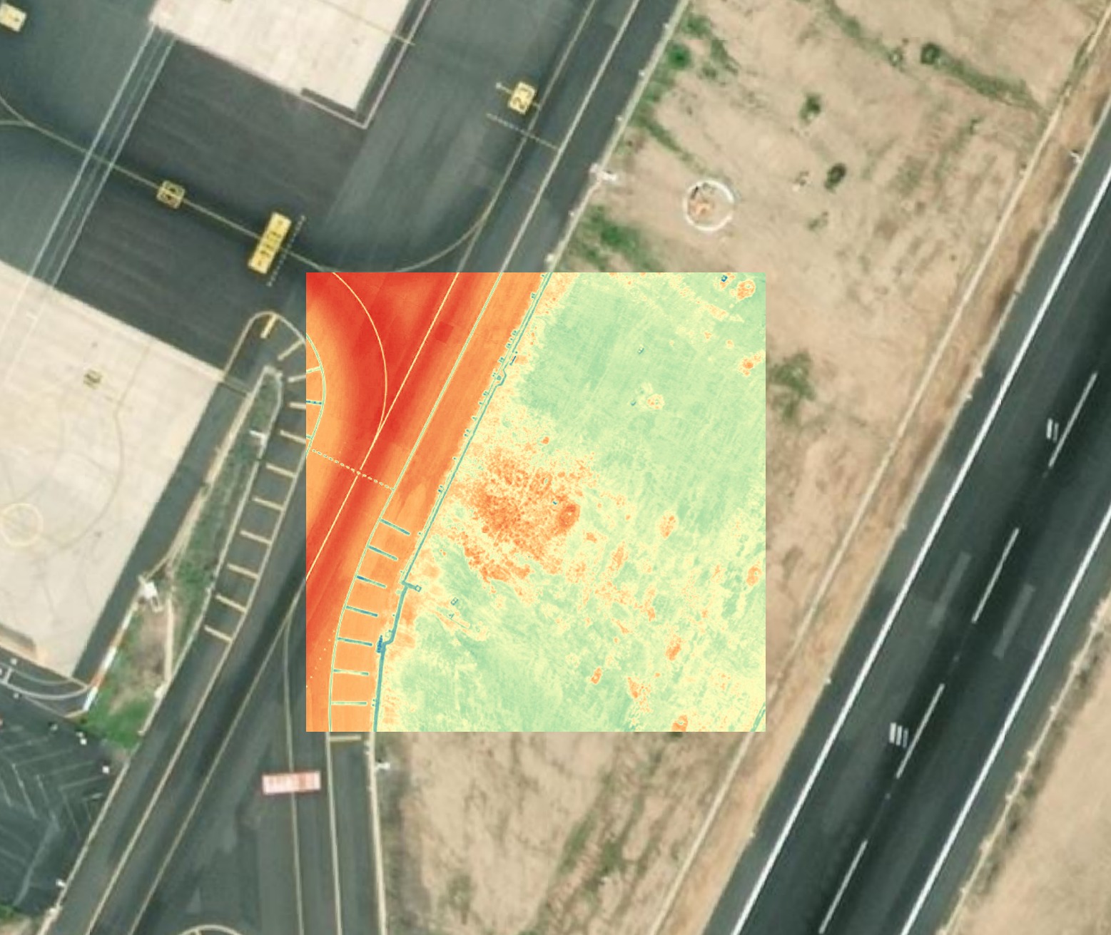
Every project starts with source data. Airport photography, official AIS documentation, runway profiles with gradient percentages and threshold elevations. We collect the reference standard before a single polygon gets built.
Survey
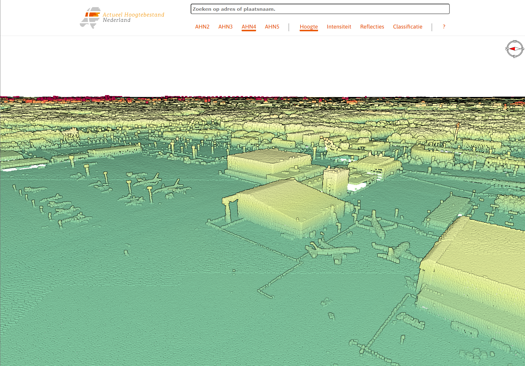
Geo Analysis
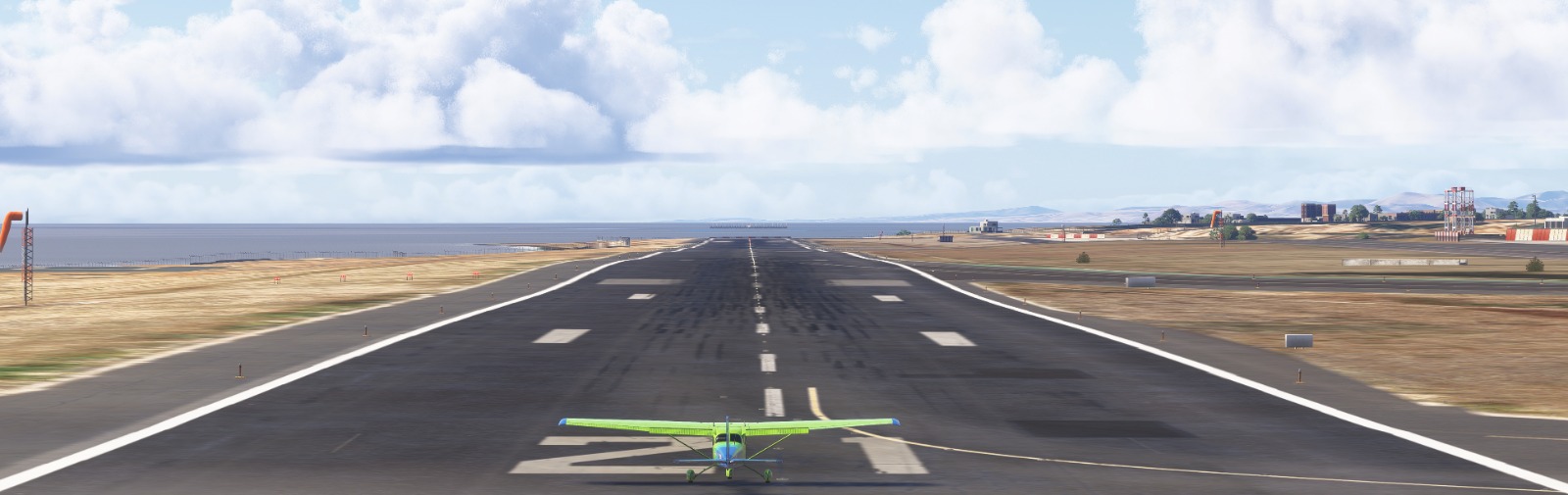
3D Model
Materials
Lighting
Validation